GPX66 KB
The universal format — works with Garmin, Wahoo, Komoot, Strava, and nearly any app or head unit made in the last decade.
Download GPXEl Tour de Tucson · Segment 2 of 3
(62 mile / Metric Century Route)
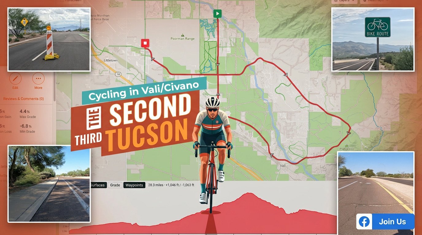
A 28-mile ride out through Vail and Civano — the middle leg of the classic 62-mile El Tour de Tucson route, mapped, measured, and ready to load onto your head unit.
The course
The segment starts near the Poorman Range on the east side and rolls southeast through open Sonoran desert toward Vail, climbing gently toward Pistol Hill before turning back in through the Civano neighborhood. Paved the whole way, low traffic, big sky.
The shape here is the real GPS track, drawn straight from the route file — the full interactive map is just below.
The map
Pan, zoom, and scrub the elevation on the interactive RideWithGPS map — or grab a file below and take the turn-by-turn with you.
Elevation
From a low of 2,786 ft to a high of 3,562 ft — about 776 feet between the floor and the top of the day, spread over gentle rollers with a single sustained pull.
Take it with you
Three formats for every device. Tap one, drop it on your head unit or app, and go ride.
The universal format — works with Garmin, Wahoo, Komoot, Strava, and nearly any app or head unit made in the last decade.
Download GPXTraining Center XML — carries course points and turn cues. The safe pick for older Garmin Edge devices.
Download TCXGarmin’s native binary — the smallest file and the fastest to load on modern Edge and Wahoo computers.
Download FITRide with us
No email list, no sign-up. Route changes, ride days, weather calls, and where we’re getting tacos afterward — it’s all on Facebook.
Join The Second Third of Tucson